





Description
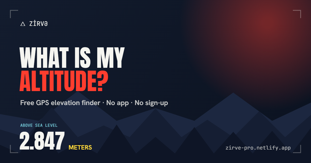
Zirvə is a free GPS altitude finder. Open it and it uses your phone's GPS to show your exact elevation above sea level in meters. The reading combines GPS with the Open-Meteo elevation service, and the app also shows current wind, humidity and a feels-like temperature, with a five-day forecast. From your measurement you can create a summit card in one of eight color themes, add your own photo, and download it as a PNG or post it to the Zirvə feed. The feed lets other climbers share their summits and like each other's, and a top-100 leaderboard ranks the most active people. The site is available in Azerbaijani, Turkish and English. The web version needs no sign-up. An Android APK of about 1 MB is offered for download, and you need to allow installs from unknown sources to open it. The site also warns that air pressure falls at altitude and that you should watch for altitude sickness.…
Highlights
- Elevation above sea level in meters from GPS
- Live wind, humidity and feels-like readings
- Shareable summit cards in eight themes
- Feed, likes and a top-100 leaderboard
- Azerbaijani, Turkish and English
- Android APK download, about 1 MB
Ratings & Reviews
No ratings yet
Be the first to rate Zirvə.
People also visit
Zirvə FAQ
What does Zirvə do?
It measures your altitude with your phone's GPS and reports your elevation above sea level in meters. You can turn the reading into a summit card.
Is it free?
Yes. The site describes it as free, and the web version needs no sign-up.
How do I install the Android app?
Download the APK from the site, open the file, allow installs from unknown sources, then install it. The file is about 1 MB.
Where does the elevation data come from?
The site says the reading combines GPS with the Open-Meteo elevation API.
Can I share my summits?
Yes. You can download a summit card as a PNG or post it to the Zirvə feed, where other climbers can like it.
What are the best Zirvə alternatives?
Popular alternatives to Zirvə include Positional, React Native Map Link and Elevate. See all Zirvə alternatives