Alternatives to Nukemap
200 apps like Nukemap, closest match first.
Top picks
- R

Reactor Atlas
LaunchReactor Atlas is an interactive world map of nuclear power plants and reactors. It plots every nuclear power station on a single map and adds a timeline that lets you follow the growth of nuclear energy from 1954 onward. Each plant has a te
- D

DeepStateMapLive
LaunchInteractive map of military operations in Ukraine
- P

Population Rays
LaunchPopulation Rays is a small interactive map that shows how far you have to travel in each direction from a point before you reach a given number of people. From a pin on the map, it draws a filled 5-degree slice in every direction, and the l
- O
- Z

ZeeMaps
LaunchZeeMaps is an online map maker for plotting many locations on one interactive map. You can build a map from a list of addresses, a crowd-sourced submission form, a Google Sheet, an Excel or CSV file, KML, a GeoRSS feed or pasted data. Each
- N

Norcal-fires-imagery
LaunchUpdated: Annadel/Kenwood to Napa 10/18, SR 10/12. Satellite fire map w/address search & compare mode. By Overview News © Digital Globe. Hosting by Mapbox
More like Nukemap

Globalthreatmap
Global threat map. Learn wars, conflicts, military bases and history of nations








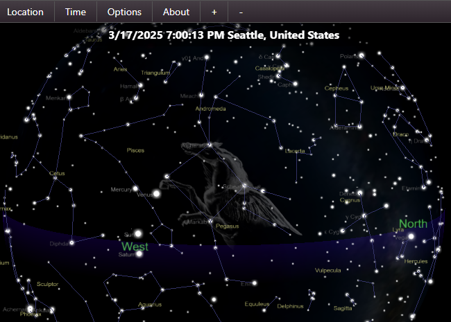
Thestarmaps
Custom star map creation tool. High-resolution star maps for your art or product

mapbox-data-visualization-patterns
Patterns for visualizing data on maps including choropleth maps, heat maps







About Nukemap

Nukemap
NUKEMAP is a website for visualizing the effects of nuclear detonations
NUKEMAP is a web-based map tool by historian of science Alex Wellerstein that shows the estimated effects of a nuclear detonation on a real location. You drag a marker to a target or type a city name, choose a warhead yield in kilotons or pick a preset weapon, and set an airburst or surface burst. The map then draws rings for blast overpressure, ionizing radiation and thermal radiation, along with the fireball, crater, mushroom cloud size and, optionally, estimated casualties and radioactive fallout based on wind speed and fission fraction. Advanced settings let you choose which pressure, radiation dose and burn thresholds to display. Detonations can be exported to Google Earth as KMZ or imported and exported as CSV. A companion tool, MISSILEMAP, and a detailed FAQ are linked from the page.
- Made by
- Alex Wellerstein
- Category
- Utilities
- Website
- nuclearsecrecy.com