200 open source apps like Satellite Analysis Demo, closest match first.
Coco Annotator
Web-based image segmentation tool for object detection, localization
AppleMapDownloader
Apple Maps Downloader
amap
Beautiful map components with amap. 100% Free, Zero config, one command setup
OpenStreetMap
Collaborative project to create a free editable map of the world
Gmaps
Google maps for Jupyter notebooks
TileServer GL
Vector and raster maps with GL styles
Walkers
slippy map (openstreetmap) widget for egui
Owid Grapher
A platform for creating interactive data visualizations
Flowise
Build AI agents visually, an open source agentic systems development platform
Sweetviz
Visualize and compare datasets, target values and associations
GeoGuessLite
Lightweight, Subscription-free GeoGuessr experience
Aptabase
Open Source, Privacy-First and Simple Analytics for Mobile, Desktop and Web apps
Maptoolkit.org
Free Vector Map Tiles from OpenStreetMap, No API Key
Geojson2svg
Converts GeoJSON to SVG string given SVG view port size and maps extent
Imagor Studio
Self-hosted image gallery with layered editing
Docling-Studio
Visual document analysis studio powered by Docling
Web Mapviewer
The viewer application for maps and geodata
Facilmap
FacilMap is a privacy-friendly, open-source versatile online map
Dishylink
An open-source desktop app for macOS
Elevation Service
Self-hosted elevation service with Mapzen terrain data
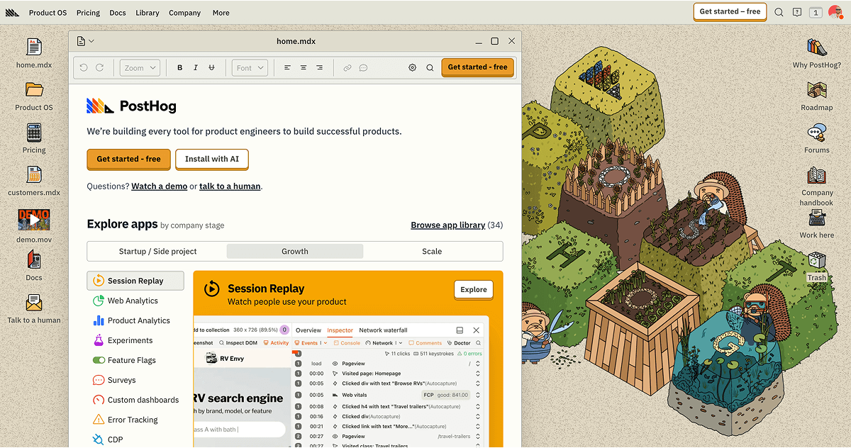
PostHog
Analytics with autocapture, session recordings, feature flags, heatmaps and more
sunriseapps/imagesorcery-mcp
Computer vision-based image recognition and editing tools
Simple Analytics
Simple, clean, and friendly analytics
AlchemyLanguage By IBM Watson
Extract insights, identify entities, detect sentiment
Frigate
Monitor your security cameras with locally processed AI
Wind Layer
wind-layer | a openlayers && maptalks && amap && bmap && leaflet && mapbox-gl &&
Map Machine
Python renderer for OpenStreetMap with custom icons intended to display as…
Maps
Navigate your world faster and easier with BackSlash Maps
Python Imagesearch
A wrapper around opencv2 and pyautogui to do image searching easily
Tracktor
Comprehensive vehicle management
Airplanes Live App
airplanes.live Android App
TruckNav-Sim
Real-time GPS navigation & routing for ETS2 and ATS
Openindoormaps
Open-source indoor navigation ready for community collaboration
Deflock App
A FOSS mobile app for viewing and submitting surveillance cameras
viking-gps
GPS data editor, analyzer and viewer
House Planner
Self-hosted house planner: true-scale 2D floor plan, 3D, satellite map overlay
Traceroute Mapper
Map your traceroutes easily
SitDeck
Open-Source Intelligence Dashboard
Mcmap
Pixel-art map visualizer for Minecraft
Bitmappery
Browser based non-destructive image editor
PictoPy
A desktop image gallery with a privacy-first approach
Geospatial
Odoo and GIS
Traks
Self-hosted, privacy-friendly web analytics
ExifGlass
Cross-platform EXIF metadata viewing tool
Benmaps.fr
Web maps that don't track you
Open Analytics
Open-source website analytics with Supabase. Track page views, visitors
Cloudoora GenAI Platform
Enterprise AI Deployment & Infrastructure Platform
GeoParquet Validator
Validate GeoParquet files against the OGC abstract tests
Gradio
Demo ML models, interact with them from any device, and build ML apps in minutes
ilastik
ilastik is a simple, user-friendly tool for interactive image classification