200 apps like Thruhikes, closest match first.
Streets GL
OpenStreetMap 3D renderer powered by WebGL2
flightcn
flightcn is a flight route visualization component set
gpx.studio
the online GPX file editor
Export gpx-track from strava.com
MapDraw
Draw and edit paths, areas and markers on a map
OpenTripPlanner
Multimodal trip planning software based on OpenStreetMap data
Photo Route
Let Photo Route create a route based on the photo locations
FitTrackee
Simple workout/activity tracker
PureTrack GPS Tracker
PureTrack makes it easy to let others follow you on your adventures
Wanderlog
Travel planner for researching, organizing, and mapping your trip
PeakFinder
The mountains are calling
Park With Us
From dream trip to booked campsites in 60 seconds
Map to GPS
Free GPX generator — draw a route on a map, download a track
Travel Map Video
Highlights.ai
AI-powered travel planner for fast trip building and creator
Com.locatelloapp
Create Audio Guided Tours, anywhere
OpenRouteService
Route service with directions, isochrones, time-distance matrix
GPX viewer
Introducing GPX Viewer - Route on Map!
Adventure Maker
Discover personalized outdoor experiences, get expert advice
MapDraw lets you draw lines directly on a map to measure distances quickly
Traceroute Mapper
Map your traceroutes easily
GuideTail
Discover new destinations and plan your future trip
Maptoposter Online
Turn the cities you love into stunning designs
Holiwise
AI Platform For Personalized Travel Inspiration
Ikuyo!
Plan your next trip
MapAnimate
Create animated map videos of flight journeys in minutes
Bespoke Trips
Personalized Recommendations and Itineraries
Elevation Service
Self-hosted elevation service with Mapzen terrain data
AdventureLog
Travel tracker and trip planner. (Demo, Source Code) GPL-3.0 Docker
Travlo
AI travel agent that simplifies group trip planning from destination ideas
Transportr
Free Public Transport Assistant without Ads or Tracking
All roads lead home
Make a map no one else could make
MapAnim
Create animated map videos from routes, link,places, photos, and location data
Runmemories
Affiche personnalisée
Benmaps.fr
Web maps that don't track you
My Next Adventure
Your Travel Planner for Exploring Options
Snipplet
Create and share beautiful guides from places you love. Share with one link
Great Circle Map
Map flight paths and compute distances between airports
paseo-help
Answer questions about the Paseo product and app, including setup
FreePlanTour
Discover personalized destinations, create tailored itineraries
Eway public transport
EasyWay mobile – current public transport routes in your mobile
React Native Map Link
Open the map app of the user's choice
OSMAnd
Comprehensive offline navigation app
AMap Global
● Gaode Street Sweeping: A More Authentic and Comprehensive RankingGaode Map
Usgs-topo-mosaic
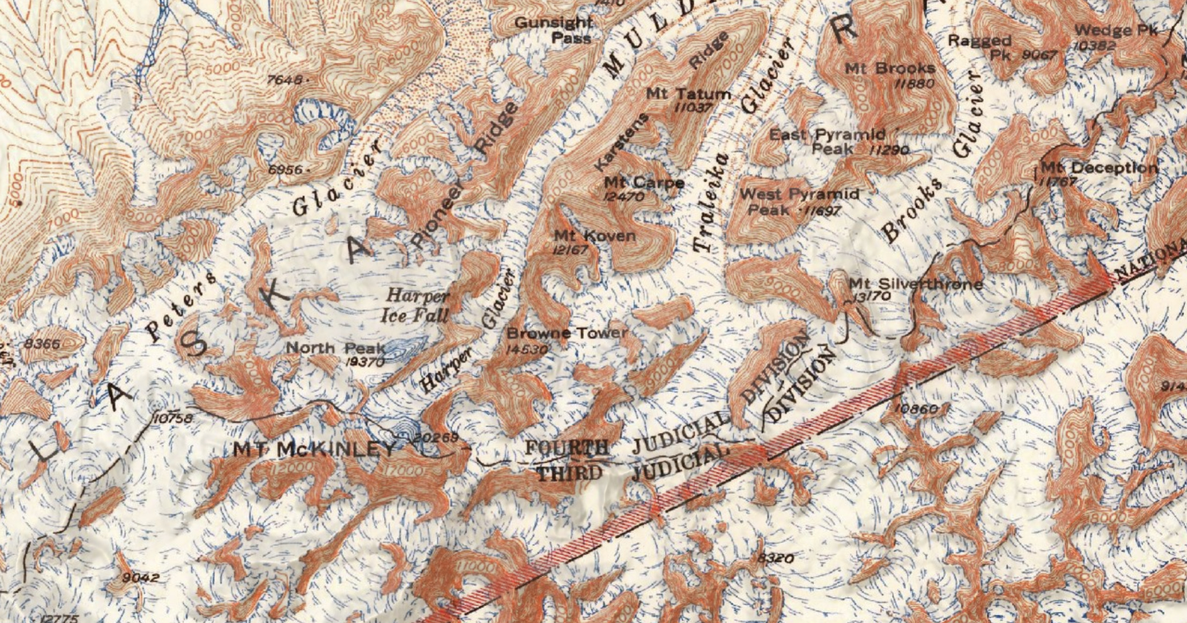
Serverless USGS Historical Topographic Map tiles
Airial
AI travel concierge that helps travelers and travel agencies plan trips
OsmAPP
Lets make a universal app for OpenStreetMap
mapbox-location-grounding
Compose Mapbox MCP tools to produce grounded
Topo Maps+
Designed and tested on real dirt by outdoor enthusiasts
TourRadar
With more than 50,000 tours and over 2 million departures worldwide