Skip to content
Light Pollution Map

Free alternatives to Light Pollution Map

200 free apps like Light Pollution Map, closest match first.

Top picks

  1. S

    Skymap

    Launch

    Sky Map Online is a free, browser-based star map. Pick a location and a time, and it draws the sky as you would see it from there: stars down to magnitude 12, the planets, the moon and deep-sky objects (DSO). You can zoom and pan around the

  2. S

    Starplot

    Launch

    Starplot is a Python library for drawing star charts and maps of the sky. You describe the observer, the time and the area you want, and it renders a chart in one of several types. Maps show an area of the sky in a chosen projection, horizo

    Open source

  3. S

    SuntimesWidget

    Launch

    Android app (and widget collection) that displays sunlight and moonlight times.

    Open source

  4. M

    moon finder

    Launch

    Litte page that helps you find the moon. Locate moon from your location. Free, open source, no data is collected, no server, everything happens in your browser.

    Open source

  5. L

    Linecast

    Launch

    Weather, tides, the sun, the moon, maps, and a planetarium, in your terminal. The Old Farmer's Almanac meets Minitel.

    Open source

  6. A

    Astrocartography Calculator

    Launch

    A free web calculator that plots planetary lines from your birth chart on a world map using Swiss Ephemeris, with AI interpretations of lines and power spots and watermark-free PNG, PDF and SVG exports.

More like Light Pollution Map
7
S

SkyLens by YantraAI

Live Satellite Tracker + Declassified UAP Files

Launch
8
S

SpaceEye

Live weather satellite imagery for your desktop background

Launch
9
M

Maps

Navigate your world faster and easier with BackSlash Maps

Launch
10
O

OSINT-Mapping-Tool

An OSINT Mapping tool for research

Launch
11
A

AstroHelm

Plate Solving & Push-To Telescope App for iOS and Android

Launch
12
C

Cartes.io

Create live, community-driven, and anonymous maps and markers for anything

Launch
13
D

Dishylink

An open-source desktop app for macOS

Launch
14
L

Live-Earth-Wallpapers

A collection of all earth related space Images in one script

Launch
15
R

React Native Map Link

Open the map app of the user's choice

Launch
16
T

Touch Mapper

Tactile map maker. Creates 3D or embosser printable files

Launch
17
S

Stellarium

Stellarium is a free open source planetarium for your computer

Launch
18
D

docker-staticmaps

API for rendering static map images

Launch
19
I

iBurn 2014

Burning Man iOS and Android Apps for Offline Maps, Camps, Art and Events

Launch
20
O

OsmAPP

Lets make a universal app for OpenStreetMap

Launch
21
M

Mcmap

Pixel-art map visualizer for Minecraft

Launch
22
S

Streets GL

OpenStreetMap 3D renderer powered by WebGL2

Launch
23
T

Terraink

The Cartographic Poster Engine

Launch
24
E

Explore Site

Explore Overture Maps data themes on an interactive map

Launch
25
B

Bluehood

Monitor your local neighbourhood's bluetooth activity

Launch
26
P

PeakMap

PEAK daily map, luggage and other locations. Data generator & website

Launch
27
F

Flutter Maplibre

Permissive and performant vector and raster maps

Launch
28
S

Sky studyo

A Google Earth for the sky, with real weather, ambient sound

Launch
29
A

atmosphere-background

Create a dark atmospheric background

Get
30
M

Mapollage

Mapollage is a photo kml generator for Google Earth

Launch
31
S

Streamlit Geospatial

A multi-page streamlit app for geospatial

Launch
32
M

Map To Poster

MapToPoster JS is a client-side web app

Launch
33
O

Omastorm

Live weather radar for the Omarchy desktop, built with Rust and Quickshell

Launch
34
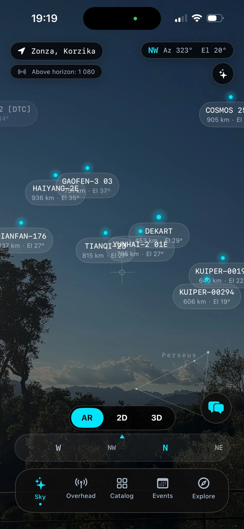
O

Orbit

AR satellite tracker for iPhone & iPad

Launch
35
G

Geoblacklight

Discovery platform for maps & GIS data

Launch
36
M

mapbox-mcp-devkit-patterns

Integration patterns for Mapbox MCP DevKit Server in AI coding assistants

Get
37
L

LutLight2D

Stylized Pixel Art Lighting

Launch
38
P

Positional

An elegant and colorful location information app for Android

Launch
39
M

mapbox-style-quality

Expert guidance on validating, optimizing

Get
40
M

Maptoposter Online

Turn the cities you love into stunning designs

Launch
41
W

Wind Layer

wind-layer | a openlayers && maptalks && amap && bmap && leaflet && mapbox-gl &&

Launch
42
T

Traceroute Mapper

Map your traceroutes easily

Launch
43
D

dither-background

Create a dark monochrome procedural background

Get
44
M

mapbox-style-patterns

Common style patterns, layer configurations

Get
45
W

WhereWasTaken

Find where any photo was taken using AI-powered image geolocation

Launch
46
N

Noiseevidence

Free Decibel Meter & Noise Complaint Tool

Launch
47
M

mapbox-store-locator-patterns

Common patterns for building store locators, restaurant finders

Get
48
P

Prettymaps

Draw pretty maps from OpenStreetMap data! Built with osmnx +matplotlib + shapely

Launch
49
S

so very bright

Free tool: upload a logo, choose which colors should glow, download an HDR JPEG

Launch
50
A

App Explorer

Map every screen and user path in a mobile app

Launch

About Light Pollution Map

L

Light Pollution Map

Find dark sky spots and check Bortle ratings anywhere

Light Pollution Map is a satellite-based light pollution and dark sky finder. Click anywhere on the map to instantly see the local Bortle scale rating and approximate SQM sky brightness, then find nearby certified dark sky locations for stargazing.
Price
Free
Category
Utilities
Website
lightpollutionmap.io