Skip to content
Usgs-topo-mosaic

Alternatives to Usgs-topo-mosaic

200 apps like Usgs-topo-mosaic, closest match first.

Top picks

  1. M

    Map2Image

    Launch

    Discover and download stunning city maps from a curated collection of visually captivating urban cartography.

  2. T

    Touch Mapper

    Launch

    Tactile map maker. Creates 3D or embosser printable files for requested OpenStreetMap areas.

    FreeOpen source

  3. D

    docker-staticmaps

    Launch

    docker-staticmaps is an open-source API for rendering static map images. Easily create maps with markers, polygons, circles, polylines or text, making it perfect for embedding map images on websites or apps. Comes with built-in rate limitin

    FreeOpen sourceSelf-hosted

  4. M

    Mappt

    Launch

    Transform your data into beautiful, interactive maps. Paste a URL, upload a file, or describe what you need - AI builds your map in seconds.

  5. G

    GeoLens

    Launch

    GeoLens is an open source, self-hosted catalog for geospatial data. It gives a team one searchable catalog for its spatial data, with OGC API and STAC support and semantic search. A map builder lets you make maps, stories and dashboards in

    FreeOpen sourceSelf-hosted

  6. C

    Cartes.io

    Launch

    Create free anonymous or public live and realtime maps without even having to sign up.

    FreeOpen source

More like Usgs-topo-mosaic

7
M

Maps GPT

Maps GPT turns your ideas into custom-made maps for any location or interest

Launch
8
E

Elevation Service

Self-hosted elevation service with Mapzen terrain data

Launch
9
O

OSINT-Mapping-Tool

An OSINT Mapping tool for research

Launch
10
U

Ultimaps

Create Beautfiful Map Charts and Interactive Maps in seconds

Launch
11
G

geolens-io/geolens

Read-only access to a self-hosted GeoLens geospatial catalog: dataset search

Get
12
M

Mapbox

Unlock geospatial intelligence through Mapbox APIs like geocoding, POI search

Get
13
M

Map Poster Generator

City Map Poster Generator — Turn Any Location Into Printable Wall Art

Launch
14
M

mapbox-mcp-devkit-patterns

Integration patterns for Mapbox MCP DevKit Server in AI coding assistants

Get
15
G

GraphHopper Maps

Open Source Route Planner UI

Launch
16
M

mapbox-location-grounding

Compose Mapbox MCP tools to produce grounded

Get
17
I

Inkarnate

Create custom fantasy maps

Launch
18
M

mapbox-style-quality

Expert guidance on validating, optimizing

Get
19
G

globe-gl

Implementing globe.gl (Globe.GL) for 3D globe data visualization

Get
20
Z

ZeeMaps

Use ZeeMaps to create, make, and publish interactive, customized maps

Launch
21
M

mapbox-data-visualization-patterns

Patterns for visualizing data on maps including choropleth maps, heat maps

Get
22
A

Aerialbot

A simple yet highly configurable Mastodon bot

Launch
23
M

Mapbox

Maps, Navigation, Search, and Data

Launch
24
T

Travel Map Video

Travel Map Video

Launch
25
3

3D Map Generator

Create stunning 3D map models suitable for 3d printing with our intuitive tool

Launch
26
R

React Native Map Link

Open the map app of the user's choice

Launch
27
C

cablate/mcp-google-map

Google Maps geocoding, place search, directions and elevation

Get
28
P

PeakMap

PEAK daily map, luggage and other locations. Data generator & website

Launch
29
T

TypeAPI

OpenAPI alternative for type-safe code generation

Launch
30
T

Terraink

The Cartographic Poster Engine

Launch
31
A

AvoMap

Create 3D videos of your adventures

Launch
32
G

google-maps

A Google Maps API alternative and Google Places API alternative on fetcher.sh

Get
33
W

WebTiles

Create a tiny 250x250 website with neighbors around you

Launch
34
M

MapTiler

MapTiler generates zoomable raster maps

Launch
35
S

ScribbleMaps

Create custom google maps

Launch
36
T

Teleport Me

Explore any destination instantly from your device

Launch
37
G

Geocoding Playground

Browser-based geocoder powered by DuckDB-WASM and Overture Maps

Launch
38
E

Explore Site

Explore Overture Maps data themes on an interactive map

Launch
39
C

County Health Mapper

Enter county-level public health data

Launch
40
W

Wikimap

A map of every geotagged article in Wikipedia

Launch
41
M

MapAnim

Create animated map videos from routes, link,places, photos, and location data

Launch
42
M

MapTilesDownloader

A super easy to use map tiles downloader built using Python

Launch
43
S

StoryRoute

AI Audio Tour & Historical Stories

Launch
44
G

Geotiff.io

Static website for viewing and analyzing GeoTIFF's in the browser

Launch
45
M

Make3DMap

Create interactive 3D maps online with terrain, routes, and objects

Launch
46
M

mfukushim-map-traveler-mcp

Create immersive travel experiences by instructing an avatar

Get
47
N

News Map

Top News Articles of Today Visualized Globally

Launch
48
M

MapScroll

A map that knows the best for you

Launch
49
M

Maptoposter Online

Turn the cities you love into stunning designs

Launch
50
F

Flutter Maplibre

Permissive and performant vector and raster maps

Launch

About Usgs-topo-mosaic
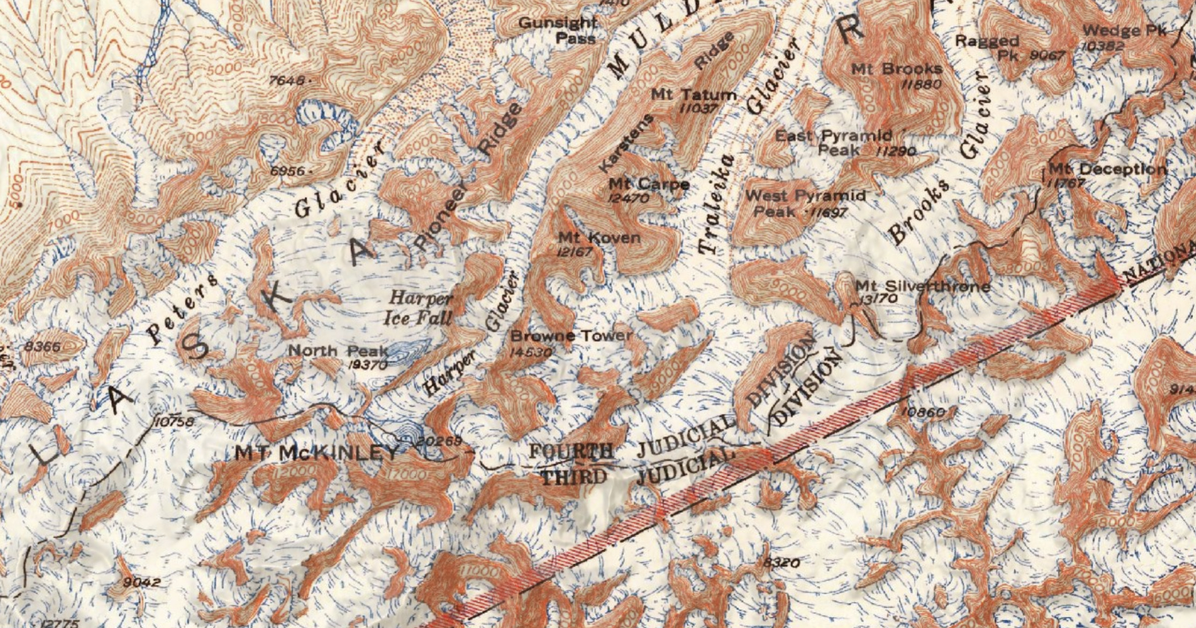
U

Usgs-topo-mosaic

Serverless USGS Historical Topographic Map tiles

Category
Developer Tools
Website
kylebarron.dev