Skip to content
Usgs-topo-mosaic

Free alternatives to Usgs-topo-mosaic

200 free apps like Usgs-topo-mosaic, closest match first.

Top picks

  1. T

    Touch Mapper

    Launch

    Tactile map maker. Creates 3D or embosser printable files for requested OpenStreetMap areas.

    FreeOpen source

  2. D

    docker-staticmaps

    Launch

    docker-staticmaps is an open-source API for rendering static map images. Easily create maps with markers, polygons, circles, polylines or text, making it perfect for embedding map images on websites or apps. Comes with built-in rate limitin

    FreeOpen sourceSelf-hosted

  3. G

    GeoLens

    Launch

    GeoLens is an open source, self-hosted catalog for geospatial data. It gives a team one searchable catalog for its spatial data, with OGC API and STAC support and semantic search. A map builder lets you make maps, stories and dashboards in

    FreeOpen sourceSelf-hosted

  4. C

    Cartes.io

    Launch

    Create free anonymous or public live and realtime maps without even having to sign up.

    FreeOpen source

  5. E

    Elevation Service

    Launch

    Self-hosted elevation service with Mapzen terrain data

    FreeOpen sourceSelf-hosted

  6. O

    OSINT-Mapping-Tool

    Launch

    An OSINT Mapping tool for research.

    FreeOpen source

More like Usgs-topo-mosaic

7
M

mapbox-mcp-devkit-patterns

Integration patterns for Mapbox MCP DevKit Server in AI coding assistants

Get
8
G

GraphHopper Maps

Open Source Route Planner UI

Launch
9
M

mapbox-location-grounding

Compose Mapbox MCP tools to produce grounded

Get
10
M

mapbox-style-quality

Expert guidance on validating, optimizing

Get
11
G

globe-gl

Implementing globe.gl (Globe.GL) for 3D globe data visualization

Get
12
M

mapbox-data-visualization-patterns

Patterns for visualizing data on maps including choropleth maps, heat maps

Get
13
A

Aerialbot

A simple yet highly configurable Mastodon bot

Launch
14
T

Travel Map Video

Travel Map Video

Launch
15
R

React Native Map Link

Open the map app of the user's choice

Launch
16
P

PeakMap

PEAK daily map, luggage and other locations. Data generator & website

Launch
17
T

Terraink

The Cartographic Poster Engine

Launch
18
G

google-maps

A Google Maps API alternative and Google Places API alternative on fetcher.sh

Get
19
T

Teleport Me

Explore any destination instantly from your device

Launch
20
G

Geocoding Playground

Browser-based geocoder powered by DuckDB-WASM and Overture Maps

Launch
21
E

Explore Site

Explore Overture Maps data themes on an interactive map

Launch
22
C

County Health Mapper

Enter county-level public health data

Launch
23
M

MapTilesDownloader

A super easy to use map tiles downloader built using Python

Launch
24
G

Geotiff.io

Static website for viewing and analyzing GeoTIFF's in the browser

Launch
25
M

Maptoposter Online

Turn the cities you love into stunning designs

Launch
26
F

Flutter Maplibre

Permissive and performant vector and raster maps

Launch
27
M

mapbox-cartography

Expert guidance on map design principles, color theory, visual hierarchy

Get
28
M

mapbox-search-patterns

Expert guidance on choosing the right Mapbox search tool and parameters

Get
29
D

Dawarich

Visualize your location history, track your movements

Launch
30
M

mapkit

Implement, review, or improve maps and location features in iOS/macOS apps

Get
31
D

Datadex

Serverless and local-first Open Data Platform

Launch
32
S

Streamlit Geospatial

A multi-page streamlit app for geospatial

Launch
33
P

Planetutils

Scripts and a Docker container to maintain your own OpenStreetMap planet

Launch
34
G

geolocate-from-pixels

Geolocate and chronolocate a photo or video from visual evidence alone

Get
35
M

mapbox-geospatial-operations

Expert guidance on choosing the right geospatial tool based on problem type

Get
36
M

mapbox-style-patterns

Common style patterns, layer configurations

Get
37
W

WhereWasTaken

Find where any photo was taken using AI-powered image geolocation

Launch
38
P

platform-mcp-tool-widget-coordinate

Orchestrate object-based Lightning Type + HXL widget generation

Get
39
G

grokipedia-recommendations

Add recommendations, links, or content to Grokipedia

Get
40
T

tilemap-ruletile-createempty

Creates an empty RuleTile, HexagonalRuleTile, or IsometricRuleTile asset

Get
41
S

Streets GL

OpenStreetMap 3D renderer powered by WebGL2

Launch
42
P

Plotapi

Engaging visualisations, made easy

Launch
43
M

MeetSpot

End the "Where should we meet?" debate by instantly finding a spot that’s fair

Launch
44
M

Map To Poster

MapToPoster JS is a client-side web app

Launch
45
M

mapbox-store-locator-patterns

Common patterns for building store locators, restaurant finders

Get
46
G

Geojson2svg

Converts GeoJSON to SVG string given SVG view port size and maps extent

Launch
47
G

GMapsScraper AI

Free online Google Maps scraper AI

Launch
48
T

TileServer GL

Vector and raster maps with GL styles

Launch
49
R

Rain

Weather application

Launch
50
I

image

Image renderer for json-render that turns JSON specs into SVG and PNG images

Get

About Usgs-topo-mosaic

U

Usgs-topo-mosaic

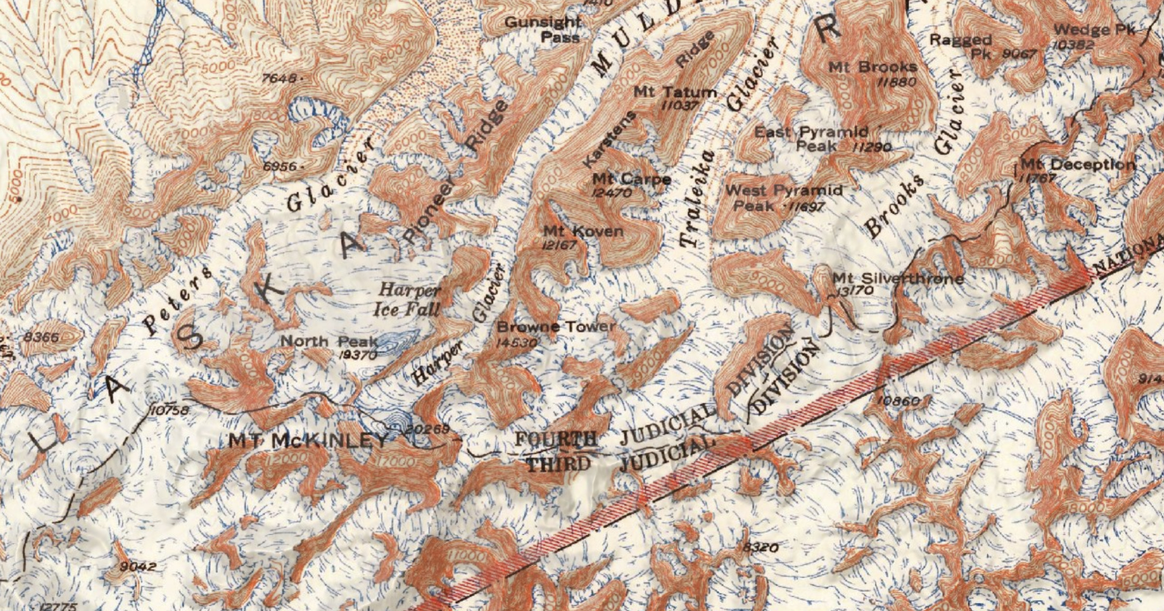
Serverless USGS Historical Topographic Map tiles

Category
Developer Tools
Website
kylebarron.dev